Description
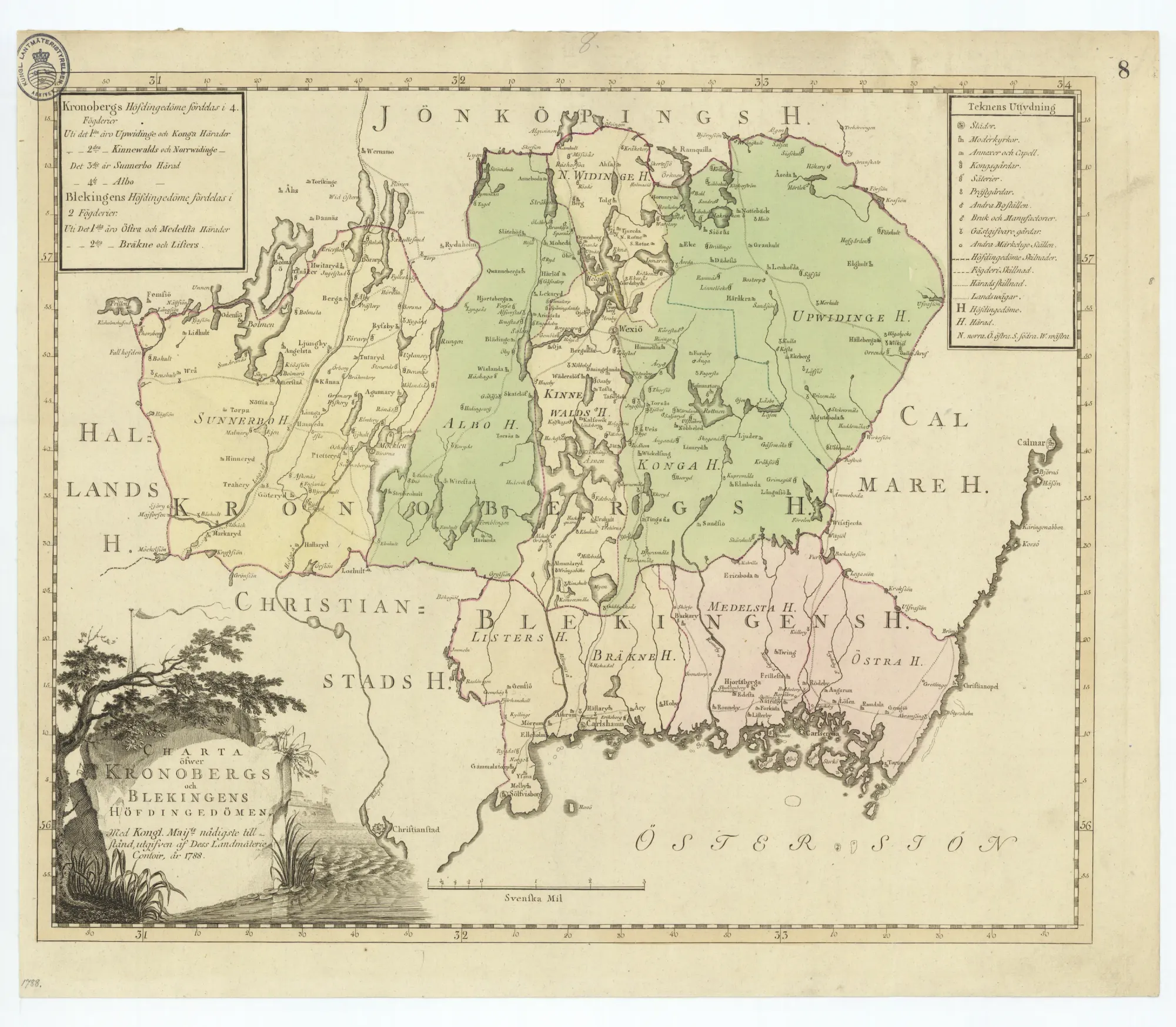
General map of Kronoberg and Blekinge counties, created in 1788 by the Royal Survey of Sweden.
A German commercial print of this map exists bearing the inscription "Prostat apud FRATRES LOTTER Aug. V." (Brothers Lotter, Augsburg), attributed to Gabriel Lotter, produced post-1788, probably 1790s. No record properties relate to the reproduction.
About this item
Identifier
MC-0004
Date
1788
Language
Swedish
Creator
Unknown
Physical description
Material
Paper
Technique
Printed
Dimensions
Unknown
Provenance & rights
Providing institution
Lantmäteristyrelsens arkiv
Original title
Generalkarta över Kronobergs och Blekinges län
Original identifier
GK/8
Access link
Rights
PDM
Suggested citation
Lantmäteristyrelsen. Generalkarta över Kronobergs och Blekinges län. 1788. Lantmäteristyrelsens arkiv, GK/8. https://historiskakartor.lantmateriet.se/hk/viewer/share/GK@8/4c4d535f474b2f38/lms2/LMS/Tryckt/KRONOBERG%20OCH%20BLEKINGE.